🔍 Executive Summary
- Waymo has suspended its freeway-based autonomous vehicle services to address persistent technical failures in navigating high-speed construction zones and flood-related sensor interference.
Strategic Deep-Dive
The Physics of Failure: Why Real-World Infrastructure Still Baffles Level 4 Autonomy
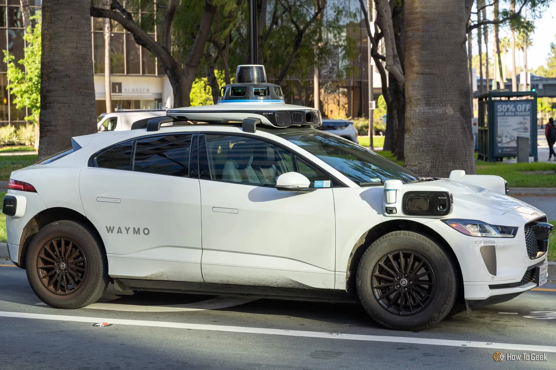
Waymo’s decision to pause its freeway robotaxi operations in the United States represents a critical inflection point for the autonomous vehicle (AV) industry. While urban environments provide a controlled, low-speed sandbox for AI, the freeway remains a volatile frontier where high velocities amplify technical friction. The specific triggers for this suspension—construction zones and flooding—highlight the lingering gap between laboratory performance and the messy reality of physical infrastructure.
As a data systems architect, it is clear that we have reached a plateau where current sensor fusion models struggle to interpret non-standard environmental variables with the 99.9999% reliability required for high-speed deployment.
The Optical and Radiometric Challenges of Floods
Flooding presents a unique challenge to the primary modalities of AV perception: LiDAR and Radar. LiDAR, which relies on the Time-of-Flight (ToF) of light pulses, suffers from beam refraction and absorption when encountering standing water. On a freeway, even a few inches of water can distort the ground plane detection, causing the vehicle to either miscalculate its height relative to the road or perceive a flat surface as a void.
Furthermore, reflective surfaces create ‘specular reflection,’ leading to multipath interference where the sensor receives false returns from nearby objects reflected in the water. Radar, while better at penetrating rain, struggles with the ‘glint’ from water surfaces, which can mask actual obstacles or road markings. For a system operating at 65+ mph, the inability to distinguish between a harmless puddle and a deep, hydroplaning-inducing flood zone is an unacceptable risk profile.
Construction Zones and the Fragility of HD Maps
Construction zones represent the ultimate test of dynamic environmental processing. Waymo’s stack relies heavily on high-definition (HD) maps as a primary source of truth. However, in an active construction zone, the topology of the road changes hourly.
Traffic cones are moved, temporary lanes are painted over old ones, and human flaggers use non-standardized gestures. When the ‘Prior Map’ conflicts with the ‘Live Perception’ data, the system enters a state of high uncertainty. Current AI agents often default to a ‘fail-safe’ mode—sudden braking or refusing to move—which is dangerous on high-speed arteries.
To solve this, the industry must move beyond reactive perception and toward proactive V2I (Vehicle-to-Infrastructure) integration. Without real-time data streams from ‘smart’ construction barriers or centralized traffic management systems, the onboard compute will always be playing a dangerous game of catch-up.
Strategic Implications for the AV Roadmap
Waymo’s retreat is a tactical necessity aimed at preserving public trust. A single high-speed fatality caused by a construction barrier or a flood-induced sensor blackout could trigger a regulatory winter for the entire sector. By halting operations, Waymo is acknowledging that the current ‘brute force’ approach to data training has hit a wall regarding environmental edge cases.
The next phase of development will likely involve a more sophisticated integration of V2X (Vehicle-to-Everything) communications and the adoption of next-generation 4D imaging radar to provide better depth perception in adverse weather. Until the infrastructure is as smart as the car, the dream of a fully autonomous freeway network will remain in a state of suspended animation.